
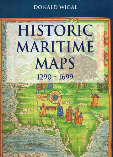
Historic Maritime Maps 1290-1699, By Donald Wigal Tapa Dura
en 6 cuotas de
¡Última disponible!
+100 ventas
+100
Ventas concretadas

Brinda buena atención

Despacha sus productos a tiempo
Medios de pago
Hasta 12 cuotas sin tarjeta

Tarjetas de crédito


Tarjetas de débito


Efectivo


Características del producto
Características principales
Título del libro | Historic Maritime Maps 1290-1699 |
|---|---|
Autor | Donald Wigal |
Idioma | Inglés |
Editorial del libro | Parkstone Press |
Tapa del libro | Dura |
Con índice | Sí |
Año de publicación | 2000 |
Otras características
Cantidad de páginas | 264 |
|---|---|
Altura | 33 cm |
Ancho | 25 cm |
Con páginas para colorear | No |
Con realidad aumentada | No |
Género del libro | Historic Maritime Maps 1290-1699 |
Tipo de narración | Cartografía |
Tamaño del libro | Grande |
Accesorios incluidos | With more than 300 photographs in color |
Edad mínima recomendada | 16 años |
Edad máxima recomendada | 99 años |
Escrito en imprenta mayúscula | No |
Cantidad de libros por set | 1 |
ISBN | 1859957501 |
Descripción
Historic Maritime Maps 1290-1699, by Donald Wigal. Ed. Parkstone Press, 2000. Hard cover. Size 33 x 24,5 cm. With more than 300 photographs in color. State: Excellent. 264 pages
Maps, even those dating from centuries ago, influence our daily lives. They are one of the things that are part of our daily environment. Throughout history, besides its utilitarian function, every single map symbolizes the period of time in which it was created. We are often reminded of the romance of antique maritime maps as we see them displayed in museums, or reproductions of them framed on the walls of private houses or institutions.
In a Vermeer painting a map may be seen telling a story-within-a-story. In plays and films maps typically set the period. In fiction they may be called on to remind the reader of a world beyond the story's setting.
A map indicates not only the location of places, it can also help us see the world as did the people of its day. Each map is therefore a priceless snapshot in the on-going album of humankind. This is especially true with antique maps, by which we can see the world through the eyes of our forebears.
While the map-maker's vision might later prove to be inadequate, maybe even incorrect, the unique truth it expresses tells a story that might not be revealed in any other way.
It may well be said that each map-maker effectively traveled in his mind vicariously not only to the envisioned places but also to the future.
One such laborious monk was the 15th-century mapmaker Fra Mauro. He was certainly responsible for bringing to light the work of several other map-makers. By doing so he helped make the transition from the Dark Ages to the beginning of the modern era (c. 1450).
Mauro was part of the the generation that was at work during the very focus of these significant times, over 30 years before the famous voyage of Christopher Columbus to the New World in 1492.
CONTENTS
I- Maps and exploring
II- Discovering New Worlds, West and East: 1400-1500
III- Beyond the New World: 1500-1550
IV- Bridging the Oceans: 1550-1600
V- The Renaissance of Discovery: 1600-1700
VI- Sailing towards the Modern World: 1700-1900
Conclusion
Notes
Index
Glossary
Further reference
Librería El Extranjero
Realizamos envíos a todo el mundo a través de Correo Argentino
Dentro de Argentina trabajamos con envíos vía Mercadoenvíos
Nuestro local se encuentra a la vuelta de la Estación Federico Lacroze del subte B, Olleros entre Corrientes y Forest, en pleno barrio de Chacarita. Te dejan a una cuadra los siguientes colectivos: 19-39-42-44-47-63-65-71-76-78-87-90-93-108-111-112-123-127-176-184, además del Ferrocarril Urquiza
Garantía del vendedor: 30 días
Preguntas y respuestas
¿Qué querés saber?
Preguntale al vendedor
Nadie hizo preguntas todavía. ¡Hacé la primera!